HYDRA AI
The World's Most Advanced Geospatial Search EngineUnlock unparalleled intelligence with the world’s most comprehensive, high-quality mobile location data. Hydra offers robust data pipelines, pre-built models, and easy to use analytics for instant insights.
Get Unprecedented Insights. Discover the Unknown.
Cross Visit Analysis
Discover how people travel to, from, through and within your area of interest as flow maps or as Origin Destination models.
Building & Asset Usage over Time
Discover the rank and usage patterns of a building, multiple buildings, or other discrete areas of interest. Measure changes in place usage and footfall patterns over time.
Dwell Time Analysis
Understand the dynamics of places with visual and statistical models that reveal where people move and where they dwell.
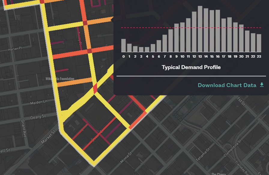
Roads Network Demand
Discover the rank and usage of a road, multiple roads, or other discrete areas of interest such as rail lines and or movement networks.
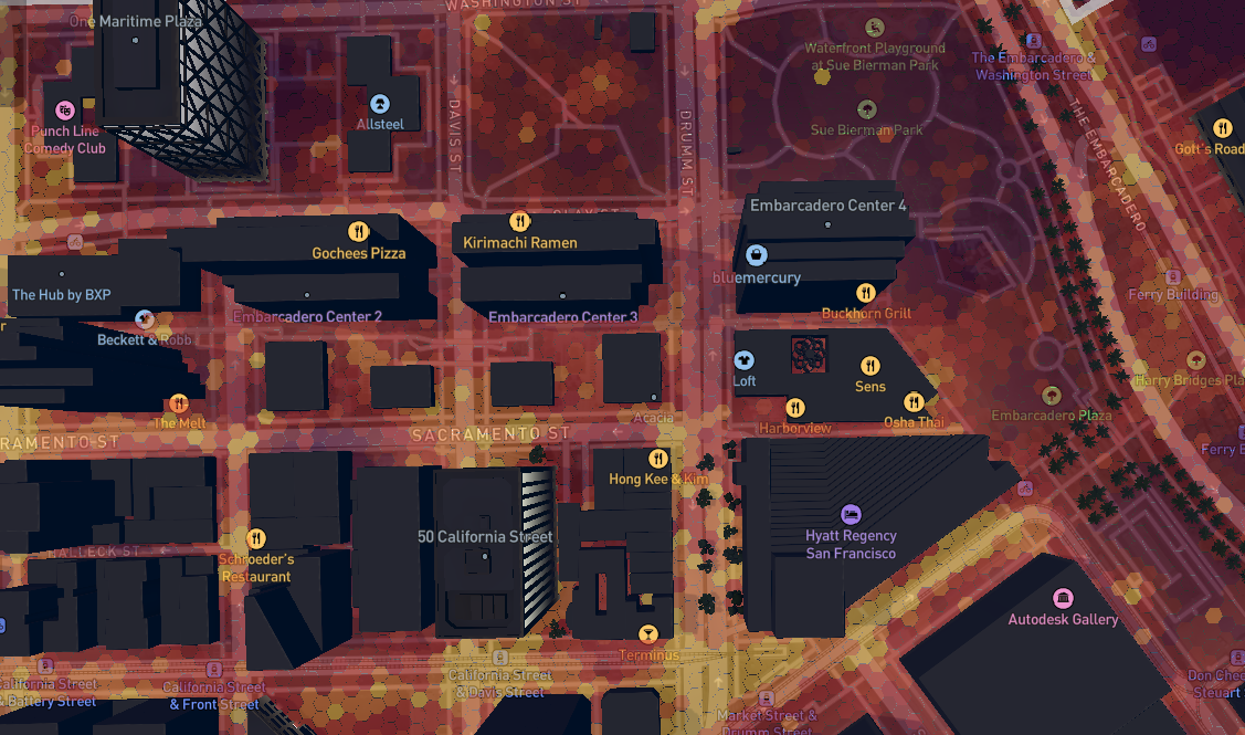
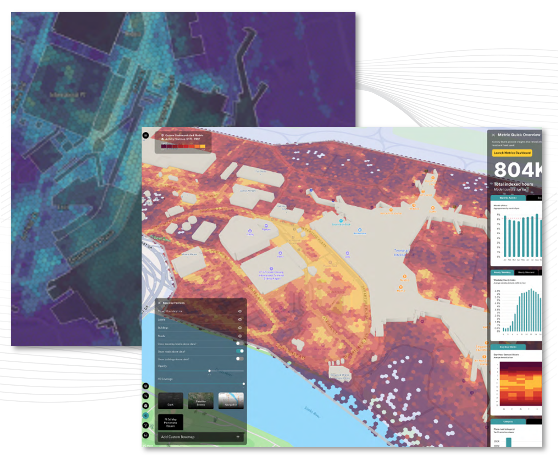
Activity Heat Maps
Activity and usage maps reveal time based usage patterns connected to statistical graphs and charts. Track changes in usage in any location over time to inform outcomes.
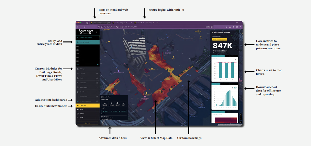
Dynamic Analytics
Rapid access to dynamic charts and analytics that auto-update based on each geofenced geospatial querry.

